Mt. Chausudake—Vantage Point for Panorama of Hachimantai
The panorama from Chausudake embraces the entire region.
Mt. Chausudake—Vantage Point for Panorama of Hachimantai
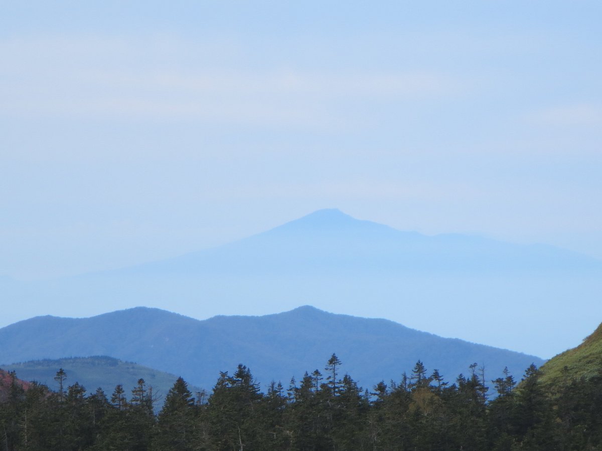
Hachimantai covers a vast area, and the panorama from Chausudake embraces the entire region. From the towering lava domes on the summit of Mt. Chausudake, the view to the south is dominated by the massive bulk of Mt. Iwate, and beyond that Mt. Hayachine, with the alluvial plain of the Kitakami River basin stretching into the distance.
The eastern Hachimantai volcano group that extends from Mt. Gentamori to Mt. Chausudake and on to Mt. Maemori was formed by volcanic activity much later than the western Hachimantai volcano group. As a result, the topography of the area is younger and more jagged.
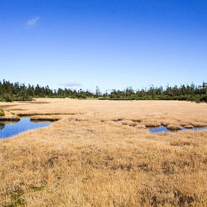
The view directly below encompasses the primary forests of the upper Kitakami River as well as stretches of wetland, including Onuma Pond and Kumanuma Pond.
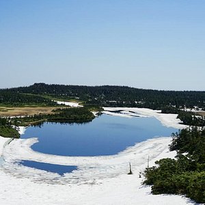
Visitors can reach the summit via two routes. The main route, which doubles as a ski hill in the winter, is somewhat demanding, but each stop on the trail reveals new views. The gentler climb along the Kuroyachi slope takes hikers through a forest of northern Japanese hemlock, and links to the trail leading to the summit.
Throughout the summer months, alpine plants bloom along the trail, with Japanese wood poppy, meadow buttercup, and creeping dogwood flowering in early summer before giving way to yamahahako (pearly everlasting) and Hakusan rhododendron in midsummer.